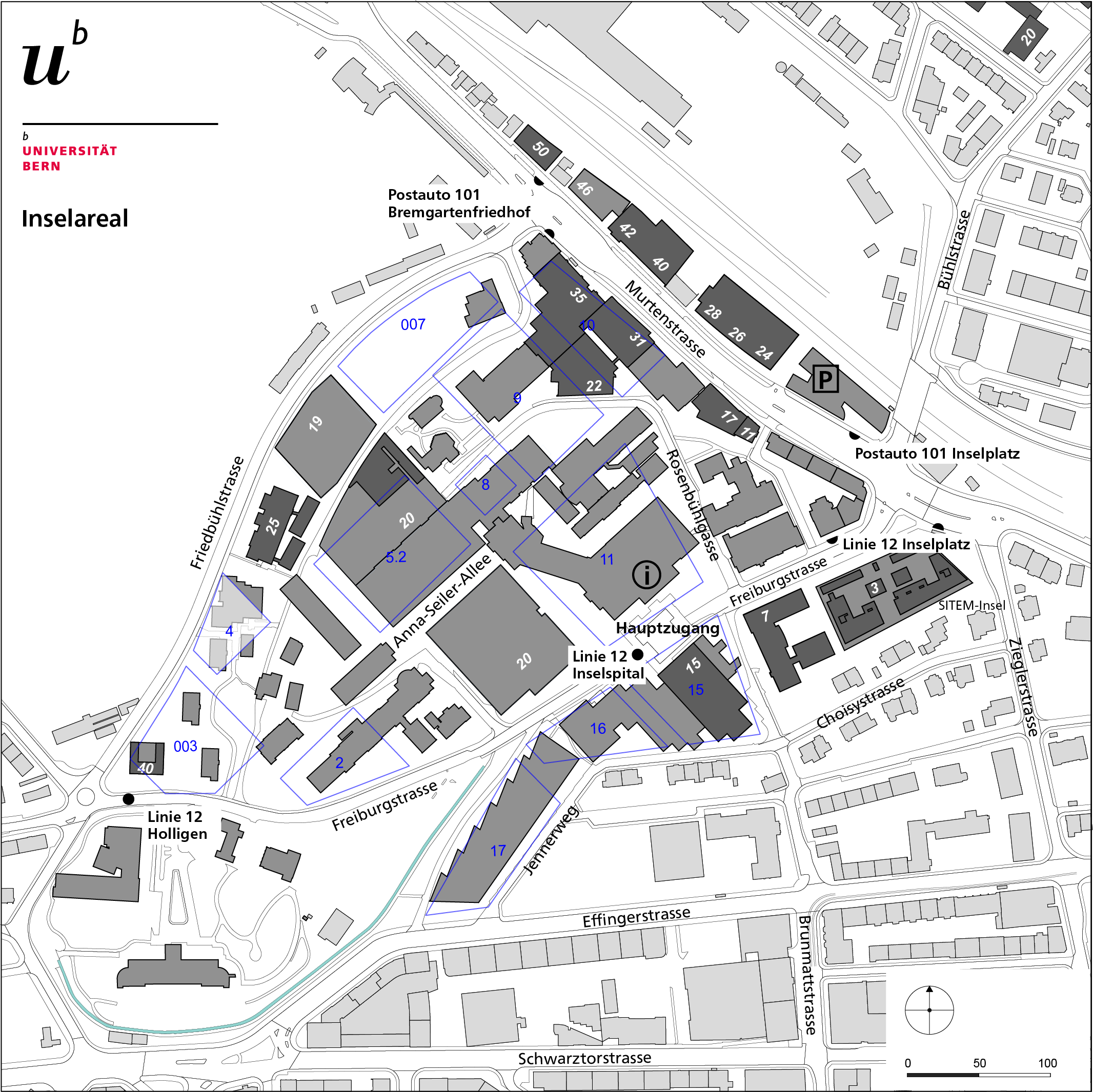
Insel Hospital area
Public transport: Line 20 heading for Holligen, Inselspital stop
PostBus 101 heading for Schlossmatt, Inselplatz and Bremgarstenfriedhof stops
The following city, neighborhood and site maps for the relevant locations are available.
The PNG files (use in Word etc) and PDF files are suitable for use in the office. For top quality in reports and brochures, choose the EPS files.